
The Remswelle project
The Remswehr in Winterbach
A few minutes' walk from the town centre and the suburban railway station, the Rems flows beneath the Ostlandstraße bridge through the outlet structure of the Schorndorf/Winterbach flood retention basin – locally called the "Remswehr". At normal water levels it flows straight through here; only during floods do the gates of the structure close and impound the valley upstream. Concrete blocks – the stepping stones – cross the river, the banks are reinforced with stones, and the Rems valley cycle path runs right alongside. This is where the Remswelle is to be created.
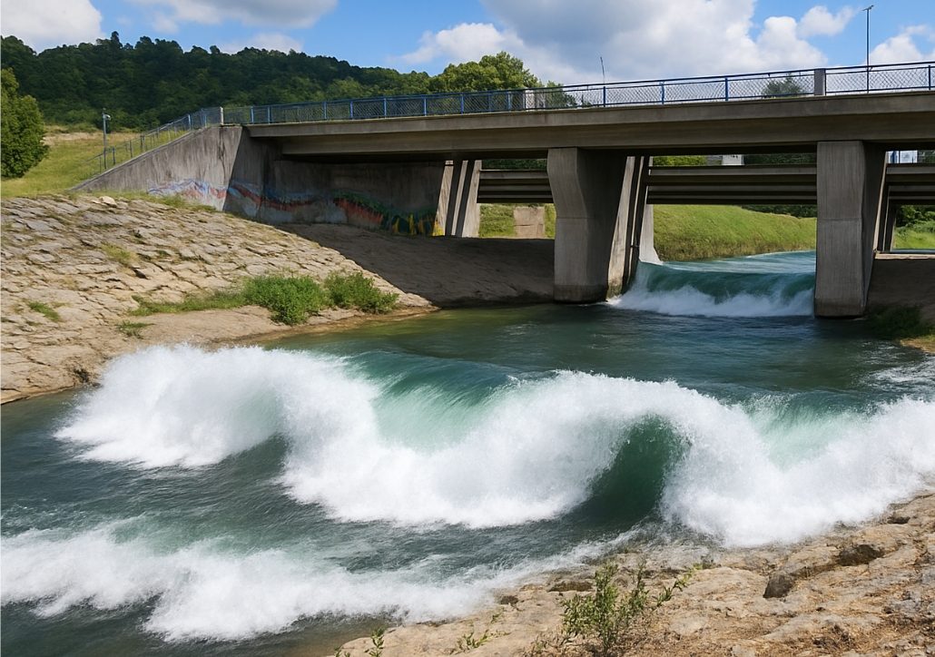
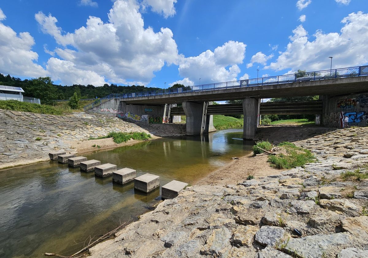 Visualisation
It would not be entirely new for the Rems in Winterbach to carry something: until 1862, firewood for Ludwigsburg was floated down it, including through a timber-rafting chute at the Winterbach mill weir. → The Rems through time
What the site offers
- A structure that already exists. The outlet structure narrows the river and can impound it with its gates. There is no step today over which the water falls – the head for a wave first has to be created, by an installation or via the structure itself. To what extent the existing structure can be used for this is for the feasibility study to establish.
- Reinforced banks and access. Bank reinforcement, stepping stones and paths are in place. The existing infrastructure can largely be used; a new site on undeveloped land would not be needed.
- Accessibility. Winterbach suburban railway station is a few minutes' walk away, and the Rems valley cycle path runs right past the weir. Anyone who wants to surf can get there without a car.
A place where people like to stay
Today the area beneath the bridge is little used: reinforced embankments, graffiti, hardly anywhere to sit. With a wave it could become a meeting place by the water – also for everyone who never surfs themselves: to watch, linger and rest by the cycle path. The area lies outside the flood retention basin on the Winterbach side. How such a place is designed is a matter for later planning with the municipality and the water board; the image shows only an idea. More about the river at this point: → The Rems in Winterbach
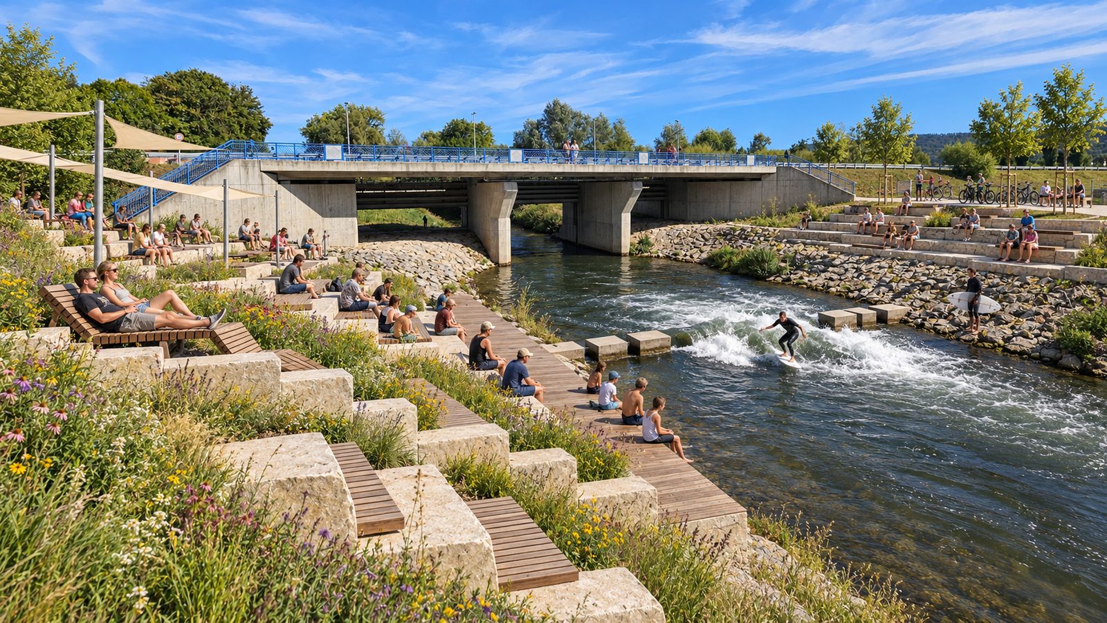
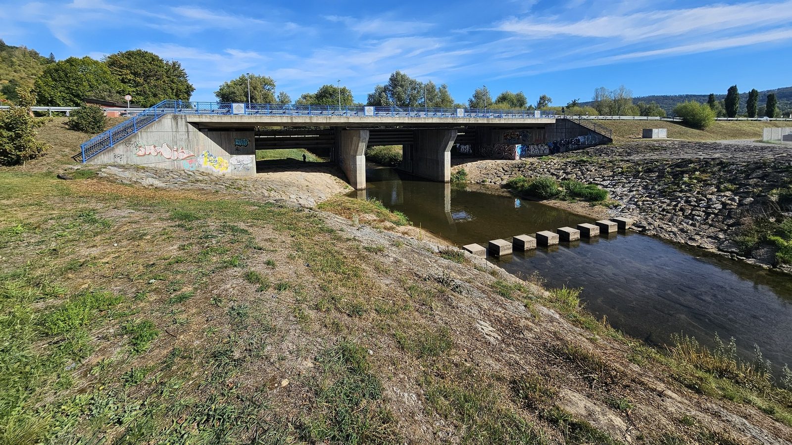 Visualisation
How you could walk here from Gleisdorfer Platz along both banks is shown in our vision of a circular walk along the Rems. → Riverside paths along the Rems
The gap Winterbach can close
The Stuttgart region has 2.8 million inhabitants on 3,654 square kilometres – almost as many people as the entire Nuremberg metropolitan region on one sixth of the area. Nuremberg has one river wave, Munich two, the Stuttgart region none. The nearest is in Pforzheim, a good hour away; Nuremberg and Munich are more than two hours away. Winterbach lies in the middle of this catchment, with a suburban rail connection. → Map of all river waves
Two variants
Weir variant. The wave is created directly at the outlet structure beneath the bridge. Where the structure already narrows the river, an installation would accelerate and guide the water so that a hydraulic jump forms – a focused, rather narrow wave. Advantage: little intervention, the existing structure is used. Disadvantage: the space beneath the bridge is limited, and getting in has to be solved.
Stepping stones variant. At the row of concrete blocks that lead through the Rems as stepping stones in front of the structure. Here the river is wider; the wave could turn out wider, with a larger usable area ("more flow"). The intervention in the riverbed would be greater. We also want to examine whether the stepping stones can be partly closed to direct the water onto a ramp – with closures that can be opened during floods and at low water.
Which variant works will be decided by the feasibility study on the basis of discharge, the head that can be created and the requirements of water law – and in talks with the Rems Water Board (Wasserverband Rems), which owns the structure.
What has to be clarified
Water. How much water the Rems carries at Winterbach over the year and from what discharge a wave is surfable will be established by the feasibility study; we will publish the figures here as soon as they are reliable. What matters is on how many days a year there is enough water – and how the wave is switched off at low water and made harmless during floods. For orientation, the key values of the Schorndorf state gauge, a few kilometres upstream (catchment 418 km²), from the LUBW daily means 1932–2025: mean discharge 5.2 m³/s, mean low-water discharge 0.9 m³/s, mean flood discharge 69 m³/s; in the last decade all three values are lower. What this means for surfable days we have estimated from more than 90 years of gauge data: River flow of the Rems – on how many days a year would a wave be surfable? If you want to see how much water the Rems is carrying right now: the state's Flood Forecasting Centre shows the Schorndorf gauge, a few kilometres upstream, continuously (Pegel Schorndorf/Rems, HVZ Baden-Württemberg (opens in a new tab)). How clean the water is is covered in the article Water quality of the Rems.
Flood protection. In 2024 the Rems valley experienced what flooding means. The Remswelle must not worsen flood discharge. Adjustable systems such as those operating in Nuremberg and Hanover are taken completely out of the water during floods. The weir itself is part of this protection: it is the outlet structure of the Schorndorf/Winterbach flood retention basin, which the Rems Water Board put into operation in October 2005; during floods the gates are closed here and the valley upstream becomes storage space. Any wave must be built so that this continues to work unchanged – the water board is our first point of contact for this.
Fish and river ecology. The EU Water Framework Directive requires continuity. In Nuremberg the wave was built with a fish pass. For the Rems, the ecological assessment will be part of the procedure. For us, fish passage is a condition, not a bargaining chip: an installation must remain passable – for example lowerable as in Pforzheim or with a bypass as in Nuremberg. How this can be achieved at the Remswehr will be clarified by the feasibility study together with the experts.
Bridge. The wave lies close to the bridge piers. Whether and how changed flow affects the structure is a question for structural engineering – and for the owner of the bridge, with whom we will seek talks.
These questions are no reason not to try. They are the reason to do it properly. More in the knowledge section: Ecology and permits.